
MAPPING SYSTEM … Brian Fritsch, the GIS Coordinator for Williams County, has worked hard to help preserve the history of Williams County veterans. The dashboard for searching by cemetery, service branch, service era, and veteran name can be found at the following web address: https://wmscoeng.maps.arcgis.com/apps/dashboards/1b5a407a28b3405c9e66fb469cbd2d71 .
By: Anna Wozniak
THE VILLAGE REPORTER
anna@thevillagereporter.com
Reading over commissioner and council articles, sometimes readers see reference to the Williams County GIS system, mostly with relation to utilities and infrastructure.
This system, which stands for Geographic Information System, is usually used by the county to map out where utility infrastructure is, with the county’s municipalities partnering with the county to participate in this system.
Brian Fritsch, who works with the county as a drainage engineer, ditch maintenance manager and county GIS coordinator, looked at this system and saw the potential to do more.
“Knowing the value of Geographic Information Systems (GIS) beyond collecting information on infrastructure, I wanted to collect the grave locations of the veterans buried in Williams County cemeteries,” he continued, “I also wanted to give people the ability to share photos of the veterans during their time in the service.”
“Growing up I knew veterans of World War II, including both of my grandfathers, one in the Navy and one in the Marine Corps, who fought on Okinawa, along with a great uncle who was onboard the USS Worden (DD-352) at Pearl Harbor. I never got to see them in their youth.”
“I saw this project as an opportunity to be able to tell the stories of the veteran’s service. I have found so many fascinating stories from the Civil War through Vietnam, and this platform is a great way to share those stories. It also gives those who may not live in the area a way to see their relative’s grave location.”
That’s right, Mr. Fritsch used the GIS system to map out and give honor to the veterans of Williams County, and makes them accessable to the public by maintaining a website for the project at https://storymaps.arcgis.com/stories/d72f8f2d77aa40f5acc138cf75c6de59 .
The grave locations are accompanied by photos of the veterans, as well as a history of what is known about their service.
Any who have photos or knowledge of veterans buried in the county are welcome to reach out to Mr. Fritsch at bfritsch@wmscoengineer.com .
The project consists of maps, surveys to collect veteran information, and an online dashboard that can be used to find a veteran. The dashboard can search by cemetery, branch of service, era of service, and veteran name.
Veterans are added each year, and Mr. Fritsch shared that the hardest part of the project so far has been locating the oldest graves throughout the county.
He estimates that there are hundreds of civil war era graves that have yet to be reported to the system, and shared that the graves from that time sometimes show disrepair, making it hard or impossible to decipher who is buried there.
That is why it is so important that anyone with knowledge of these veterans share it, for the interest of preserving Williams County history for future generations.
“Some of these graves are well over 150 years old and are starting to become lost to history. At first, I just wanted to be able to provide a way that permanently records the burial locations.”
“As the project took shape, I found it very interesting that there were many veterans of the Civil War who went to war together, then returned to Williams County together, and are buried near each other.”
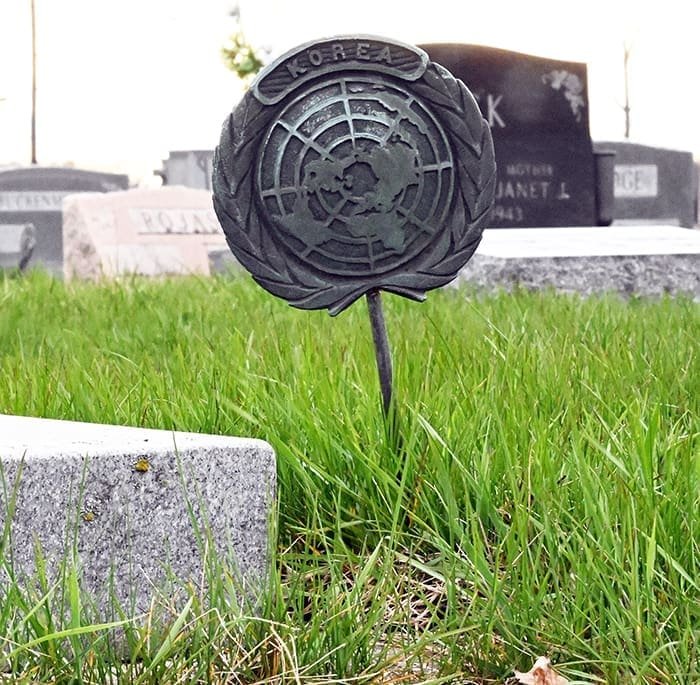
He continued with, “there are also headstones in cemeteries that are memorials to fallen veterans who never made it home, and are buried overseas, or in other national cemeteries in the southern United States.”
“There are many stories about these veterans if you look. This project makes it easier to learn about these stories.”
“For example, Private William J. Knight of the 21st Ohio Volunteer Infantry is buried in the Oakwood Cemetery in Stryker. He was one of the very first recipients of the Medal of Honor for his actions during the Civil War.”
The project will never be 100% complete,” shared Fritsch, “each year there are new locations that need to be collected. My end goal would be to have all the veteran grave locations placed on the map.”
“I would also like to be able to collect the locations of those local veterans who were casualties of war and not buried in Williams County.”
“There are casualties of the Civil War, World War I, and World War II who are buried outside Williams County, and I believe the map would be greatly improved having these locations added.”
“If you would like to see how the information can be used on the map,” Fritsch continued, “I would suggest looking up 1st Lieutenant Walter B. Shambager in Riverside Cemetery. He was a casualty of WWII in the Army Air Force.”
You can do that by using the dashboard at this location https://wmscoeng.maps.arcgis.com/apps/dashboards/1b5a407a28b3405c9e66fb469cbd2d71 .
The dashboard works best with computers, and can be used to search by location, making it the perfect tool for those who like to walk to use to check out while they visit local cemeteries.
It’s important that we remember our history, and do those that served for our freedoms the honor of preserving as much of the past as possible.
Now, thanks to Brian Fritsch, Williams County can be sure that the best efforts are being made to honor our veterans.