
By: Forrest R. Church
THE VILLAGE REPORTER
publisher@thevillagereporter.com
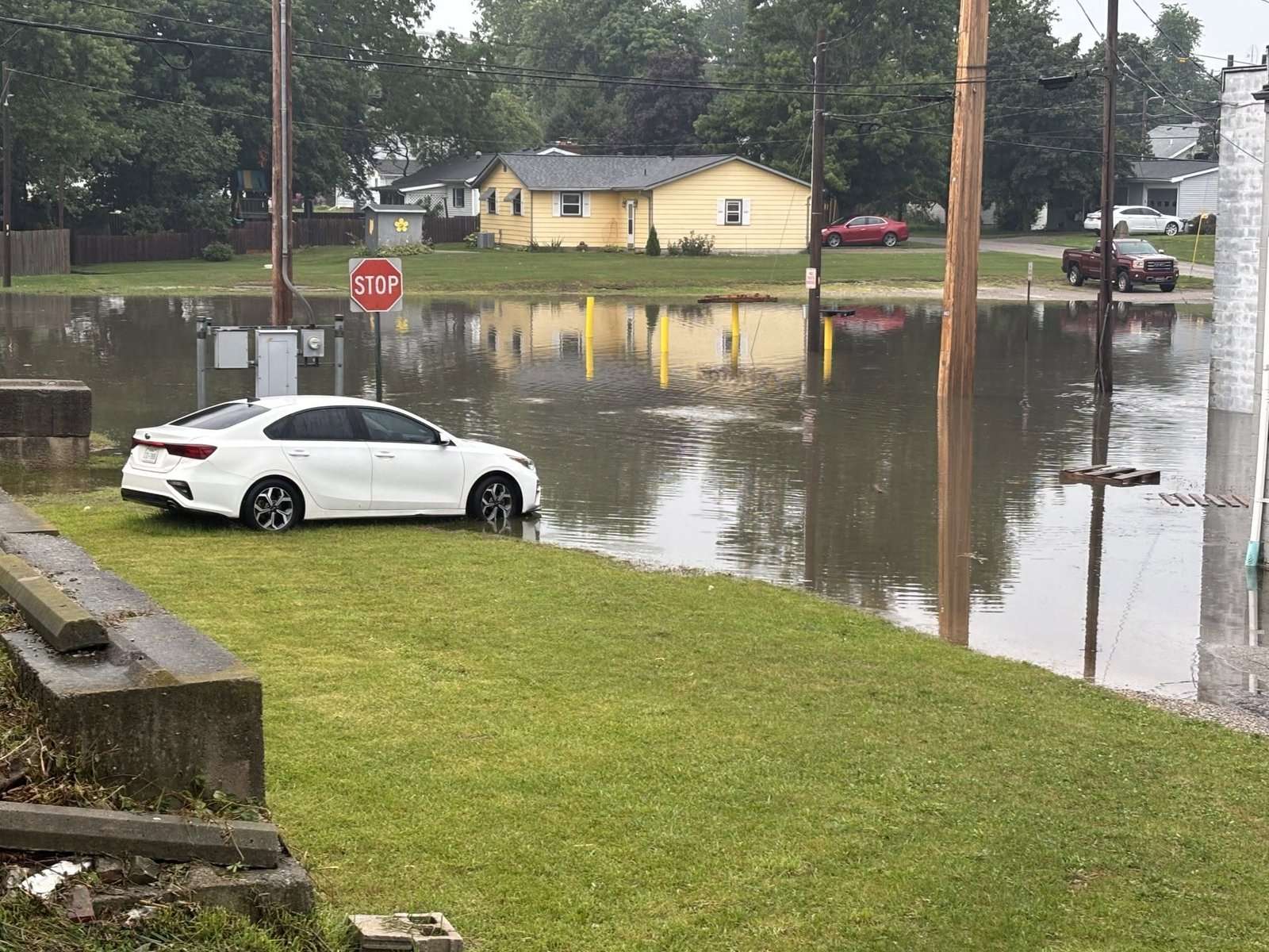
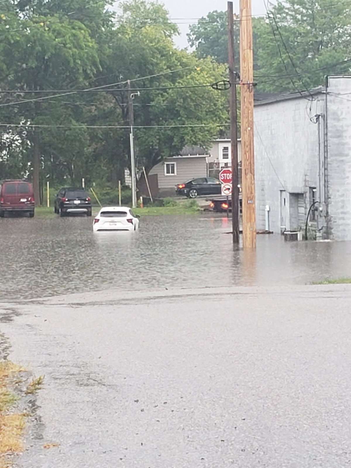
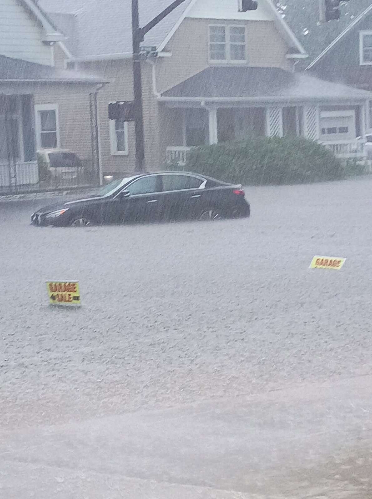
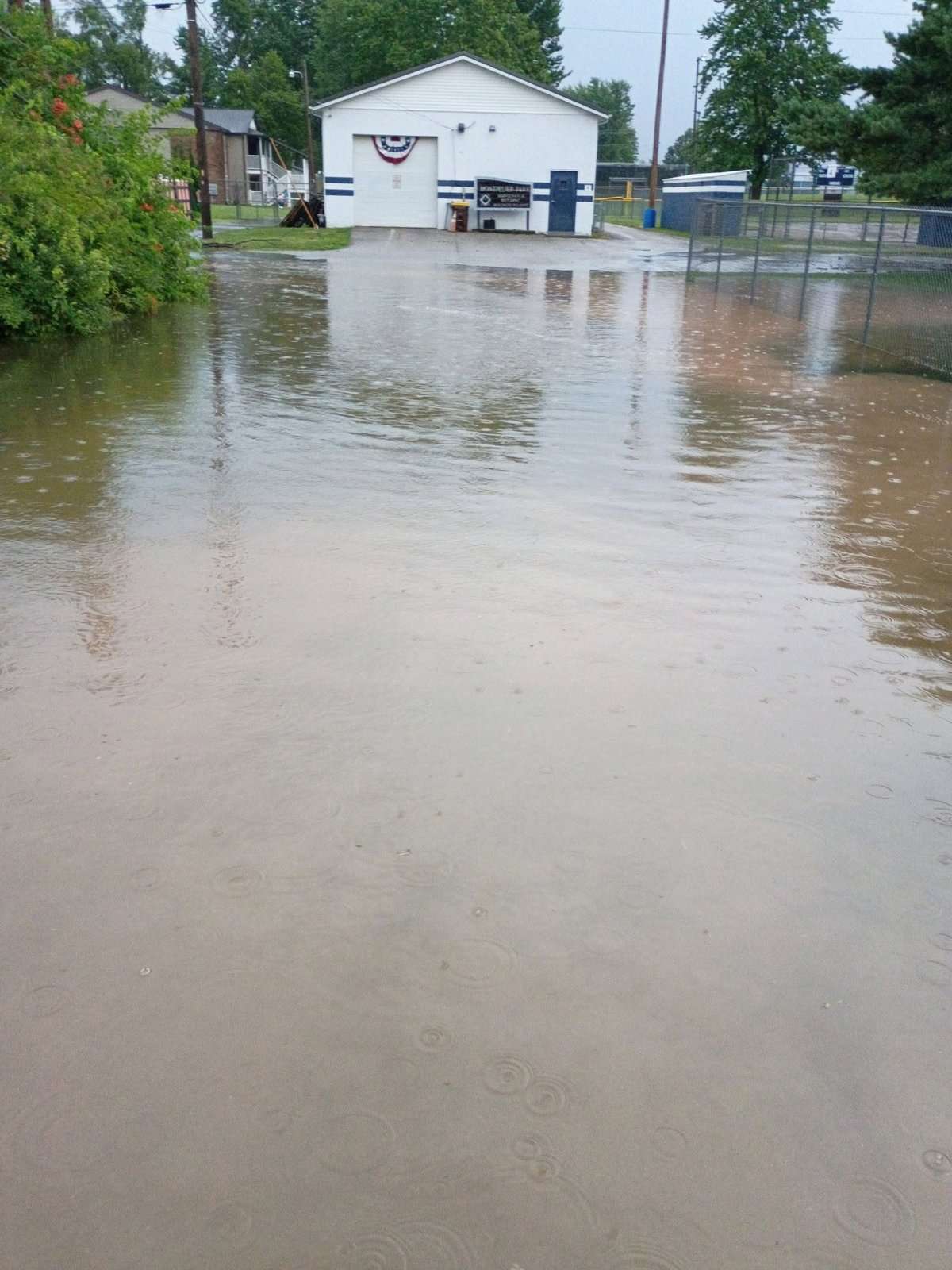
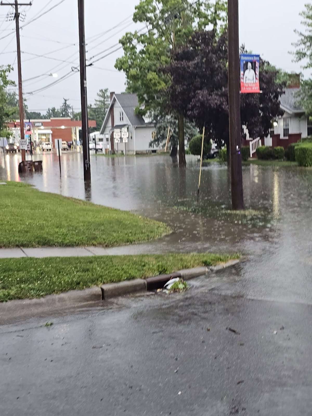
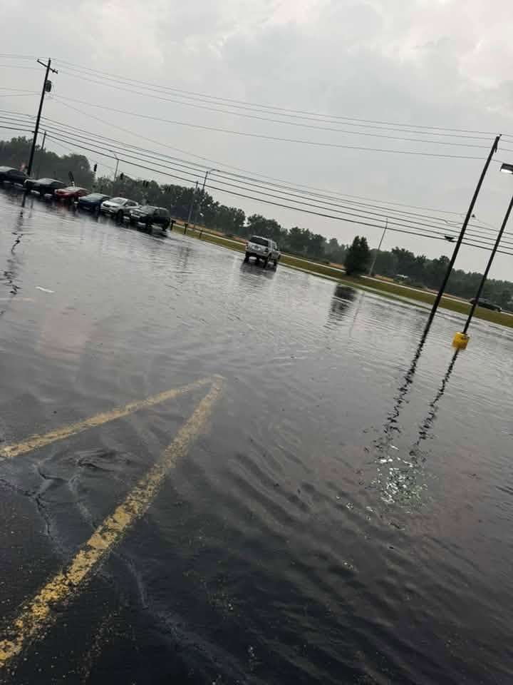
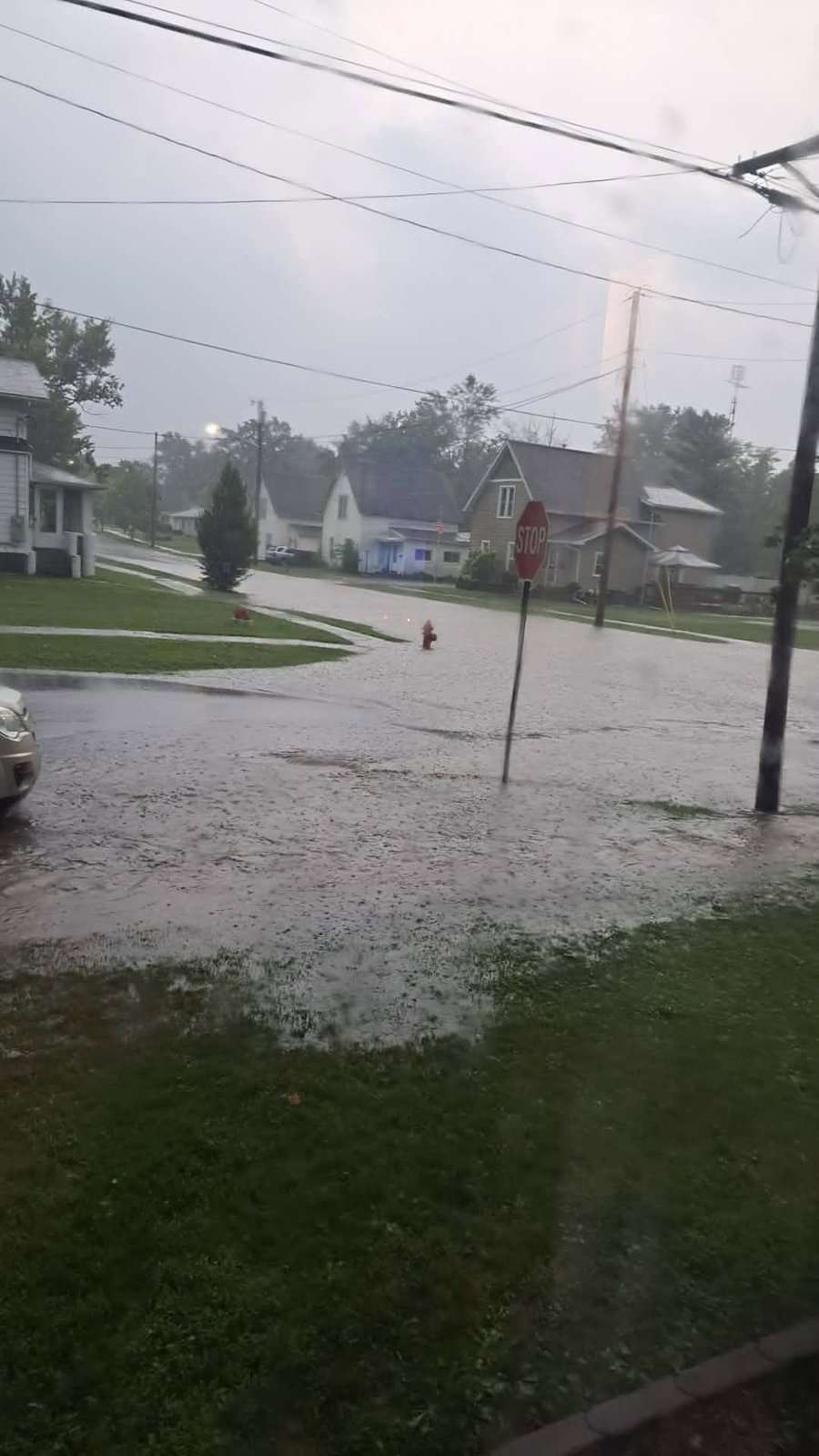
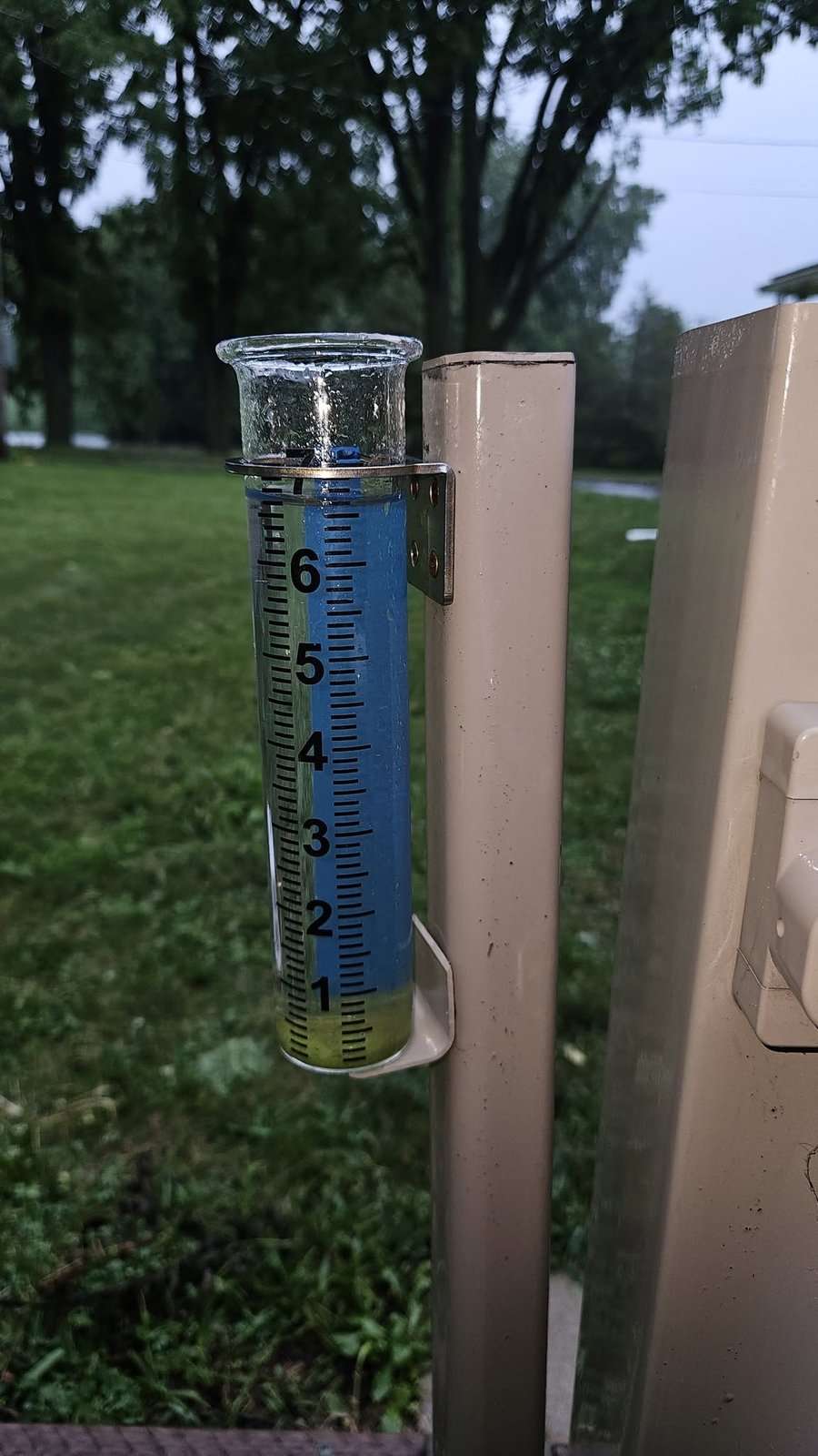
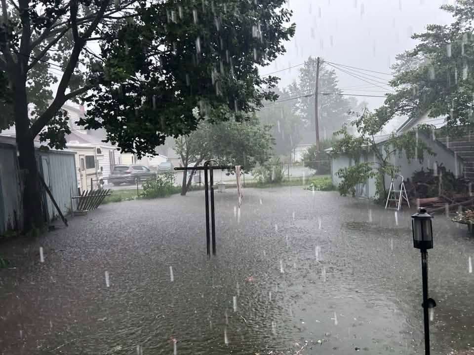
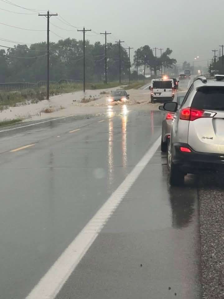
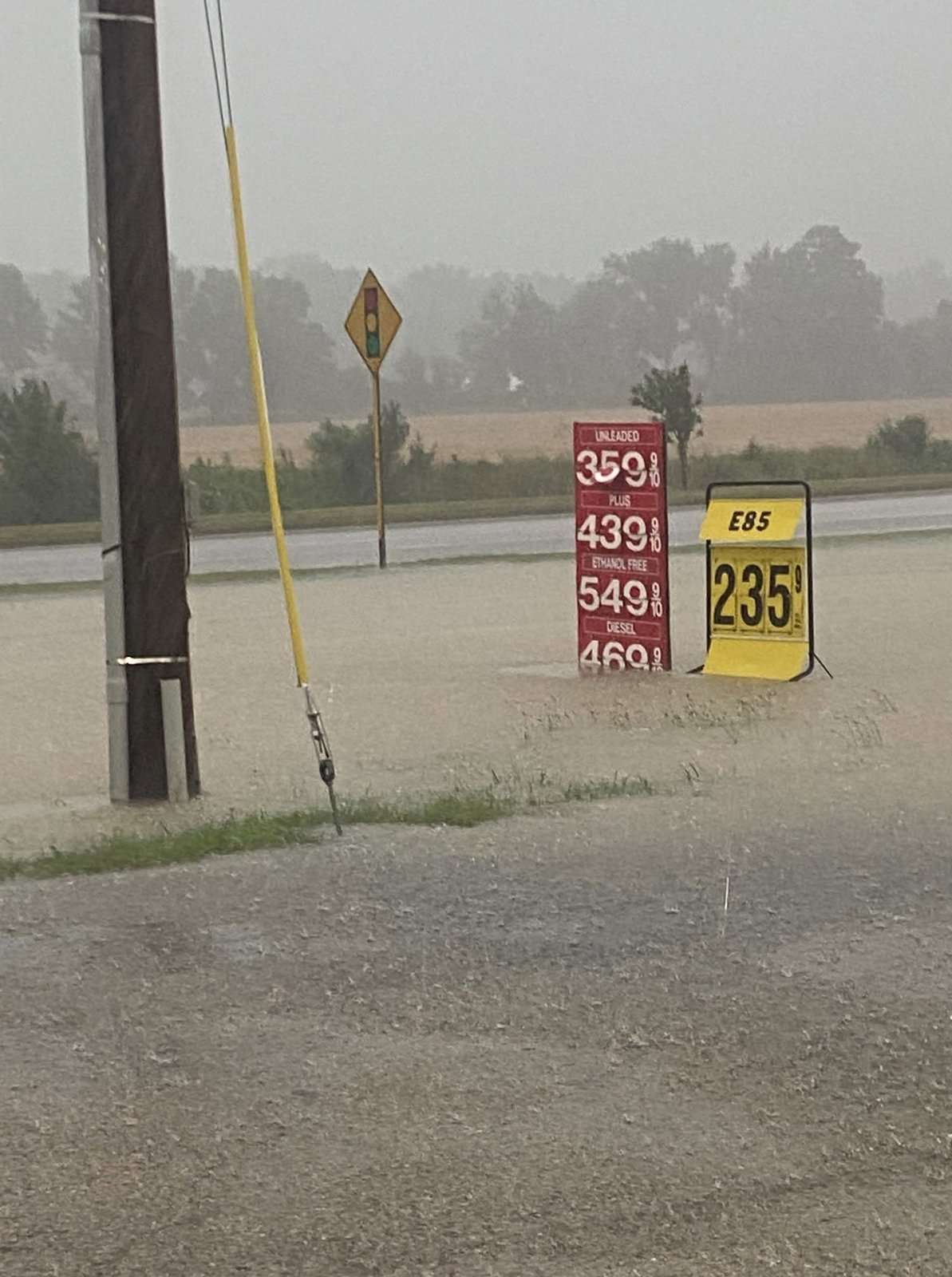
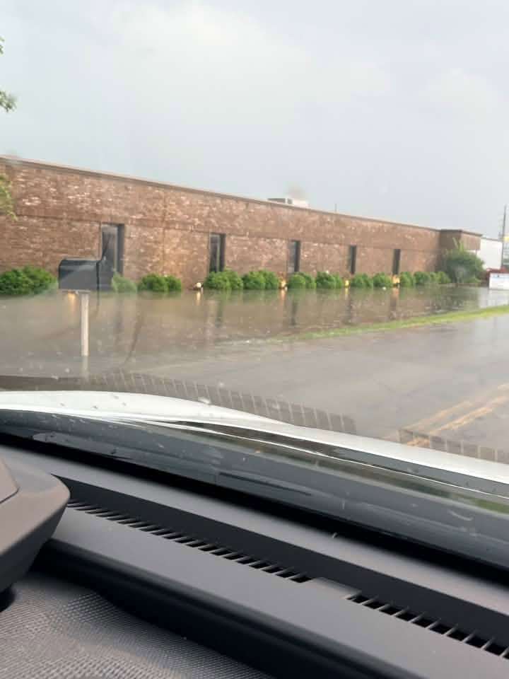
MONTPELIER — Heavy rain hammered Montpelier and the surrounding area late Friday afternoon into early evening, with the National Weather Service confirming more than four inches of rain fell in a short period of time — and some unofficial rain gauges showing as much as seven inches, though those higher totals have not been confirmed.
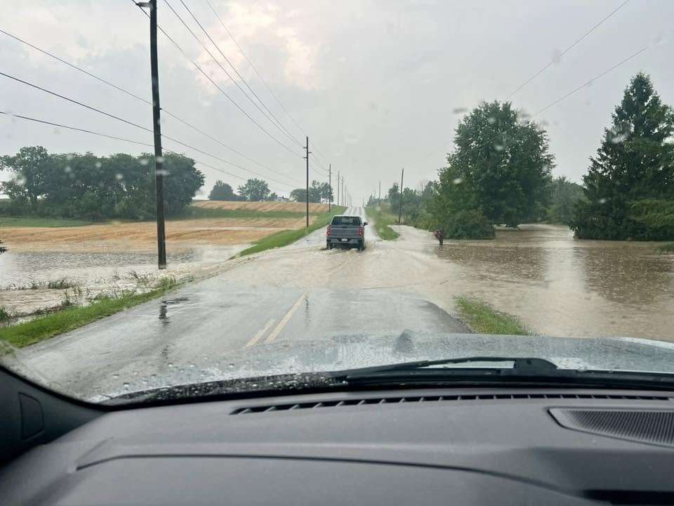
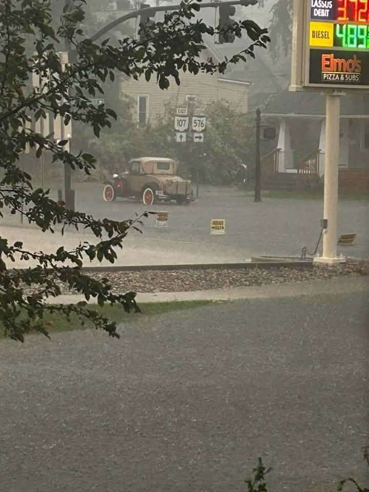
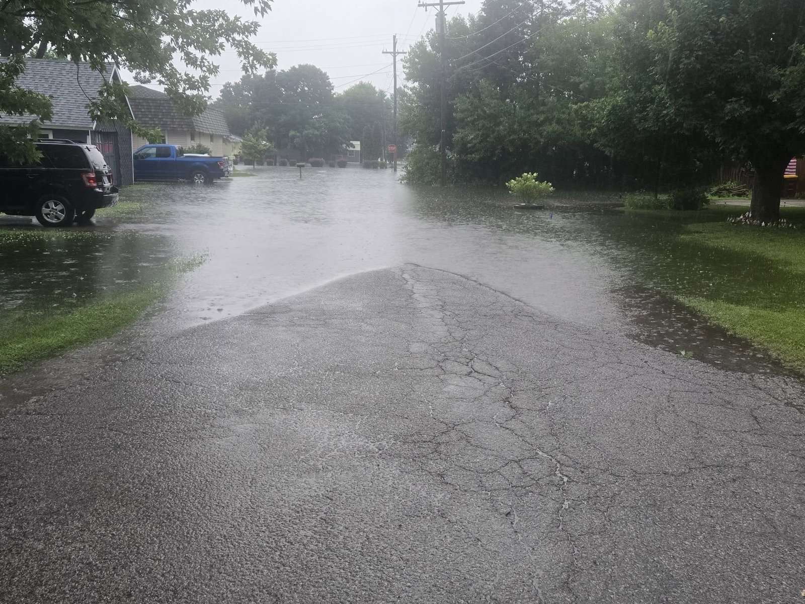
The National Weather Service in Northern Indiana, which covers Williams County, issued a Flood Warning for the county in effect until 12:15 a.m. Saturday after trained weather spotters reported flooding across the area Friday evening. Several roads were closed and impassable due to flooding, with many areas of slow-moving or standing water expected to persist overnight. Communities named in the warning include Montpelier, West Unity, Stryker, Holiday City, Pulaski, Hallock, and Kunkle.
An earlier flood advisory also covered portions of Fulton County, where radar indicated between a half inch and two and a half inches of rain had fallen, with communities including Wauseon, Archbold, Pettisville, Tedrow, and Ottokee among those affected. The weather service said no additional rainfall was expected overnight, though flooding impacts would continue as water drained from saturated fields, ditches, and low-lying areas. Officials urged drivers to turn around when encountering flooded roadways, noting that most flood deaths occur in vehicles.

The deluge arrived amid an unusually active stretch of severe weather across the Midwest, which has seen repeated rounds of strong thunderstorms and flooding in recent weeks.
◆◆◆

◆◆◆

◆◆◆
◆◆◆
◆◆◆

◆◆◆

◆◆◆

◆◆◆

◆◆◆


◆◆◆

◆◆◆

◆◆◆
◆◆◆

◆◆◆
◆◆◆

◆◆◆
◆◆◆
◆◆◆
◆◆◆


◆◆◆

◆◆◆
◆◆◆
◆◆◆

◆◆◆
◆◆◆

◆◆◆
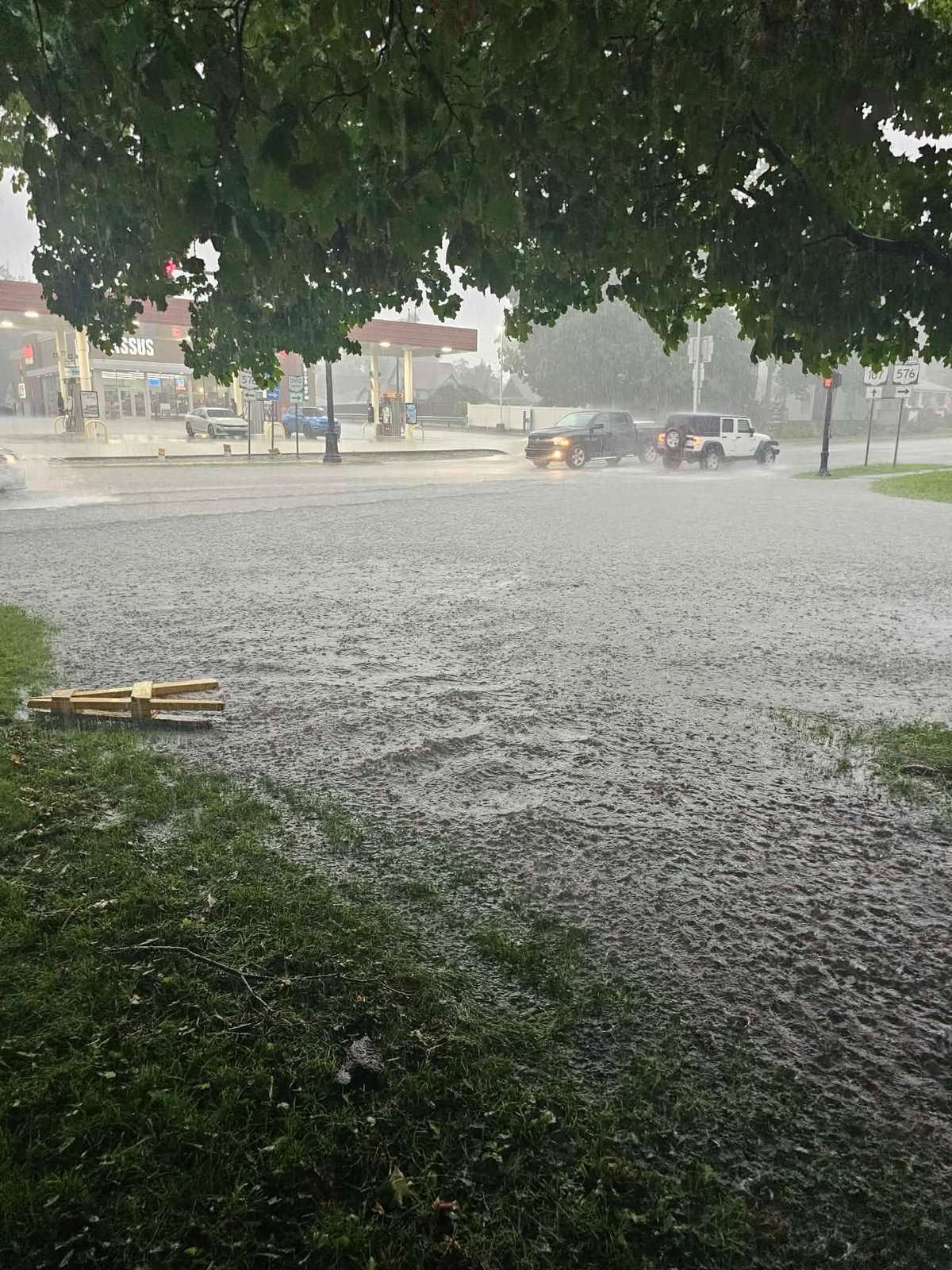
Photos courtesy of area readers.

What are you showing for rain totals? Do you have a photo to share? Email publisher@thevillagereporter.com.