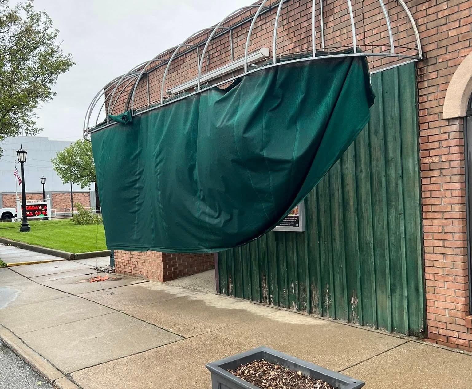
PHOTO COURTESY OPERA HOUSE FACEBOOK PAGE
PROPERTY DAMAGE … The awning at the Fayette Opera House was damaged Monday evening as high winds brought damage reports throughout the viewing area.
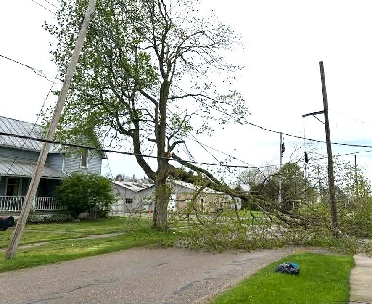
PHOTO COURTESY SHANNON SPONSLER
AFTERMATH OF WINDS … Large tree branches were snapped and left on the ground in West Unity Monday evening after strong winds moved through northwest Ohio.

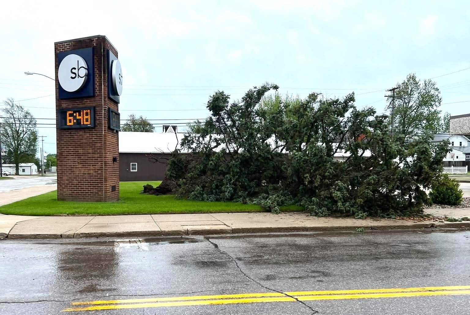
PHOTO COURTESY LYNNE NOFZIGER
WIND DAMAGE … A large evergreen tree lies on its side Monday evening in front of The State Bank in Edon following strong winds that moved through the area.
By: Jacob Kessler
THE VILLAGE REPORTER
jacob@thevillagereporter.com
A strong wind event moved into northwest Ohio Monday evening as a Wind Advisory was issued for Williams, Fulton, Defiance and Henry counties.
The advisory called for south winds of 20 to 25 miles per hour, with gusts up to 50 miles per hour possible across portions of northern Indiana, southwest Michigan and northwest Ohio. Gusty winds were expected to blow around unsecured objects, with tree limbs and a few power outages possible.

The National Weather Service in Northern Indiana reported that damaging wind gusts of 60 to 70 miles per hour and embedded tornadoes were the main hazards with a line of storms expected to move in from Illinois after 8 p.m. EDT. Forecasters said how far north and east the storms would maintain severe strength remained uncertain.
Locally, the greatest concern appeared to be strong winds moving in behind an initial batch of rain and storms. Winds were expected to increase from 5 to 8 p.m., with a few gusts near 40 miles per hour possible. \
The highest chance for stronger gusts, possibly reaching 50 to 60 miles per hour, is expected overnight between 10 p.m. and 3 a.m.
The wind threat was not directly tied to thunderstorms alone. Weather information shared Monday evening indicated that storm complexes earlier in the day helped alter air pressure on a more localized scale, creating a stronger pressure gradient and increasing the wind potential.

The National Weather Service also reported a 70 mile per hour wind gust at South Bend International Airport earlier in the evening as strong southeasterly winds developed behind rain and embedded storms in northern Indiana.
Damage was also reported throughout the area, with reports of damage to homes, outdoor objects, trees and powerlines. Residents were urged to use caution around any downed limbs or wires and to report powerline damage to the proper utility or emergency officials.
As of 8:30 p.m., Toledo Edison was reporting nearly 500 customers without power in Williams County, with outages mainly centered around Pioneer, Kunkle, Holiday City and Montpelier.

Periods of heavy rain and storms are also expected, though the greater tornado and hail threat was expected to remain farther west.